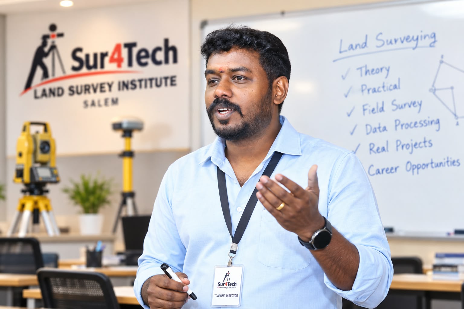
Total Station
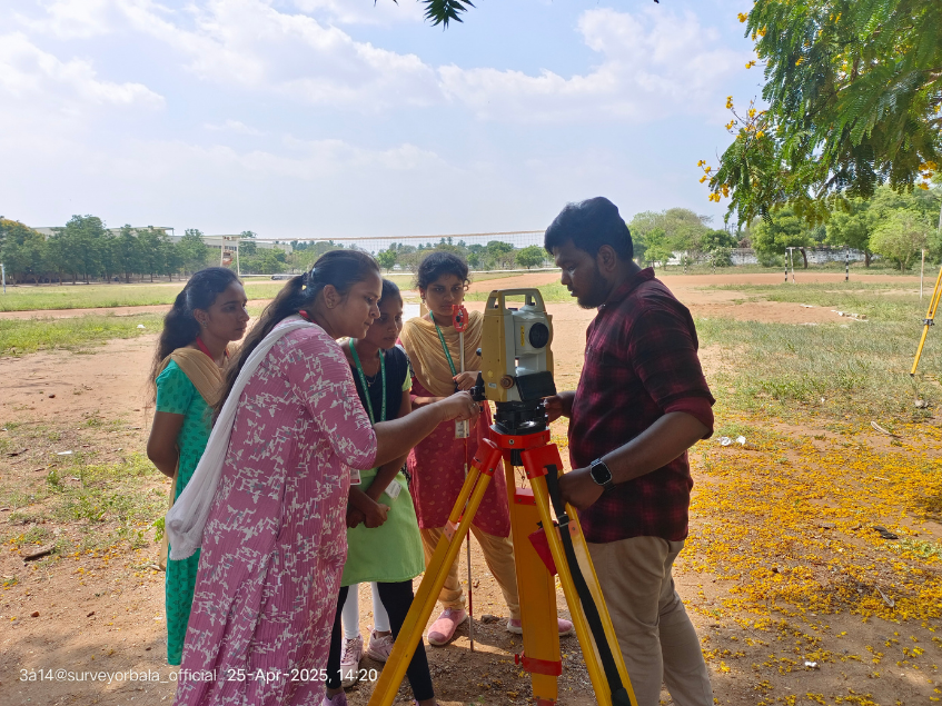
Instrument operation, coordinate surveying, topographic surveys, setting out and construction applications.
Core Instrument
Land Survey Trainer | Survey Professional | Educator | Entrepreneur
Helping students, surveyors and civil professionals develop practical land surveying skills through field-oriented training, technology and industry knowledge.
Start a conversation about training, workshops or professional collaboration.
15+ Years of Land Surveying & Training Experience
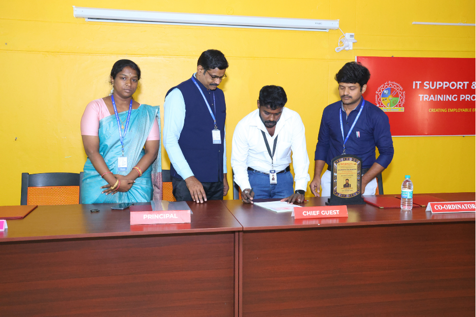
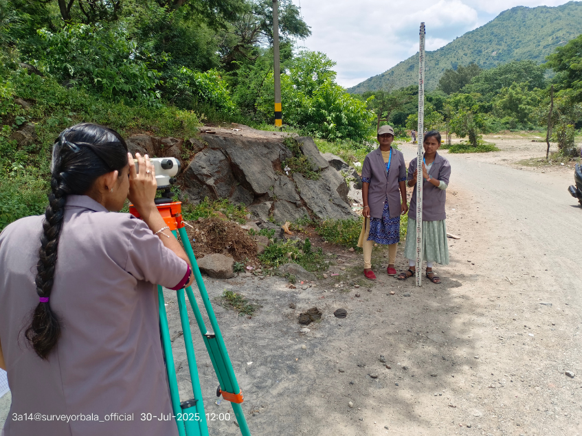
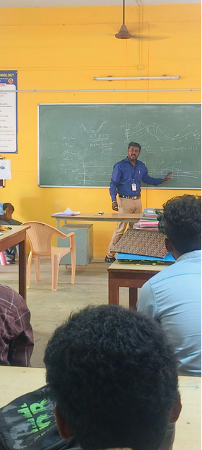
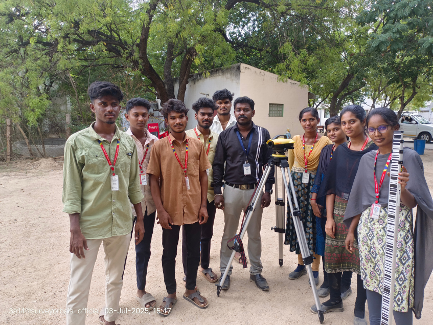
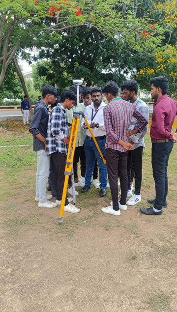
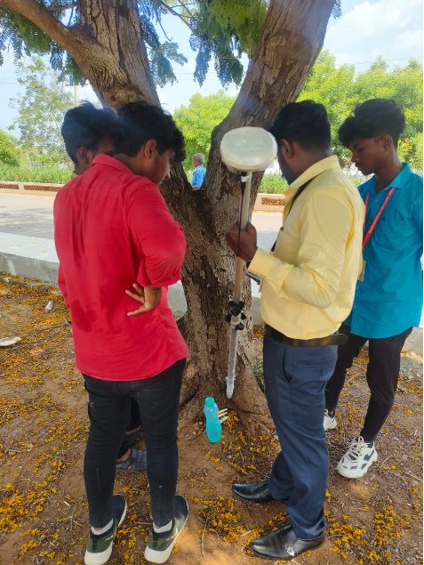
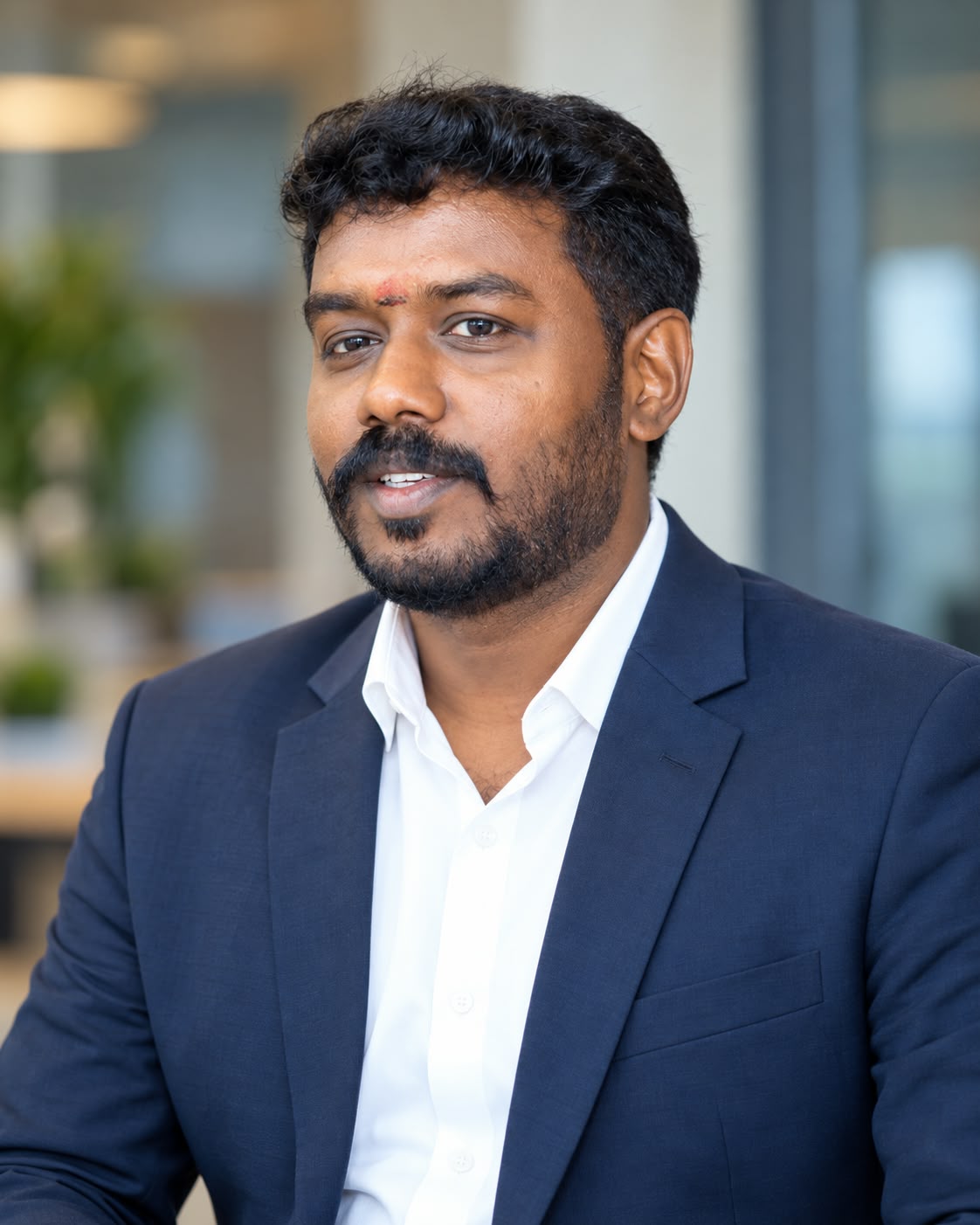
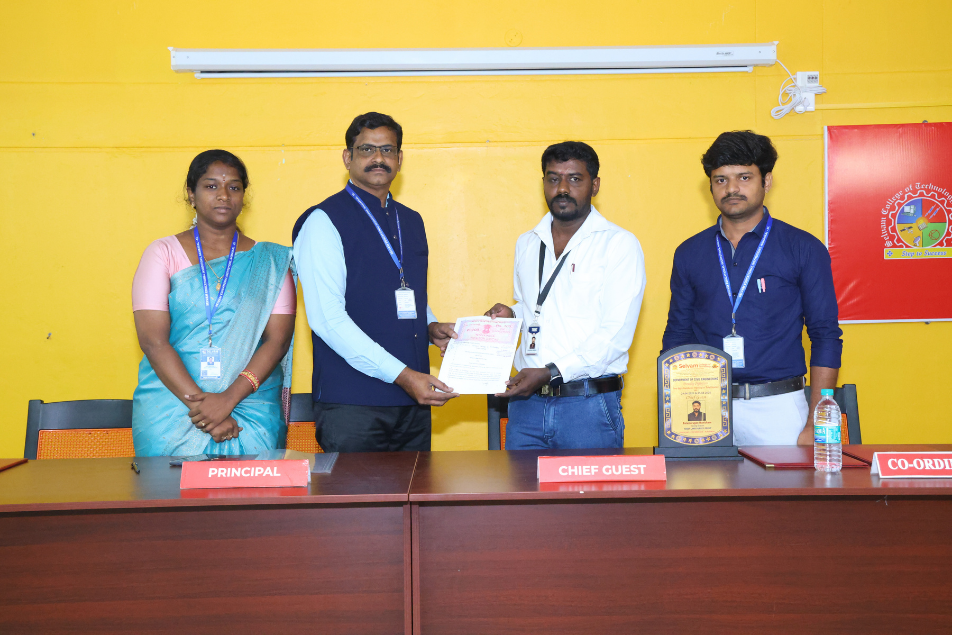
I’m Balamurugan Manickam, professionally known as Surveyor Bala — Land Survey Trainer, Geomatics Professional, Educator and Entrepreneur.
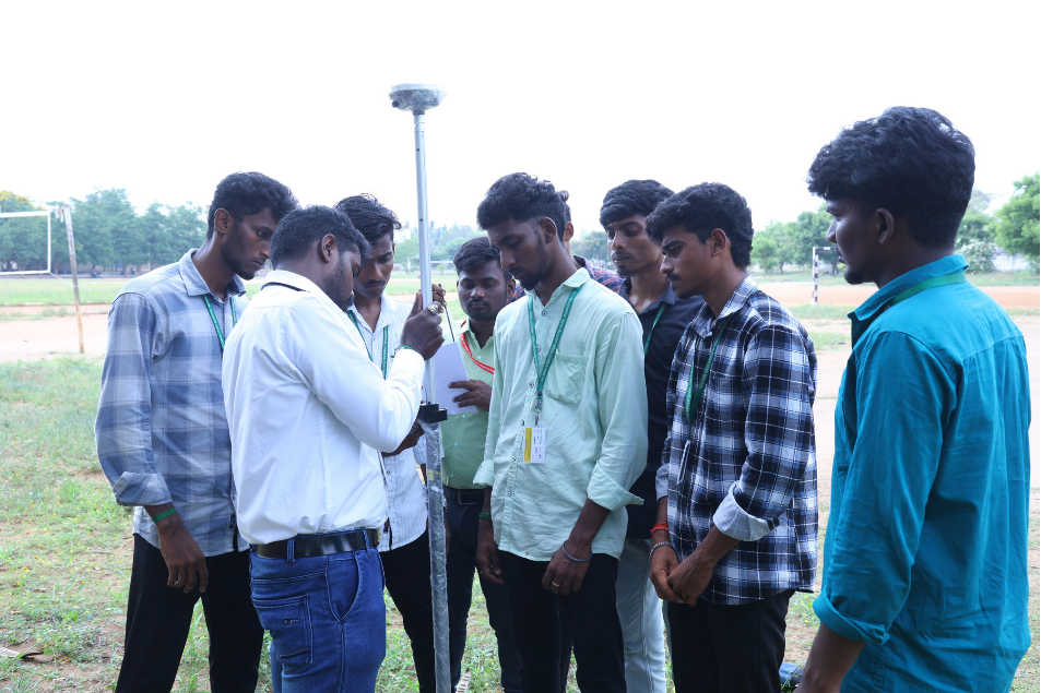
My mission is to bridge the gap between classroom theory and real-world surveying practice. I believe a professional surveyor should not only understand surveying concepts, but confidently operate modern instruments, collect millimeter-accurate field data, process spatial models, and solve real site problems.
Expertise
Instrument operation, coordinate surveying, topographic surveys, setting out and construction applications.
Satellite positioning, RTK surveying, coordinate systems, field data collection and professional applications.
Levelling, benchmarks, RL calculations, profile levelling and construction applications.
Field data collection, contour mapping, terrain analysis and survey documentation.
Setting out, alignment, levels, coordinates and as-built surveying.
Survey data processing, drawings, CAD workflows and professional documentation.
Core trigonometric mathematics, levelling principles, coordinate reference systems, and error-check basics.
Direct equipment calibration, station setup, backsight referencing, Total Station & DGPS operational handling.
Extensive outdoor boundary demarcations, topographic grid mapping, profile levelling, and terrain obstacle solutions.
Raw point computation, coordinate corrections, contour generation, CAD drafting, and client-ready reporting.
End-to-end commercial setting-out, column alignment, road and curve alignments, and site quality control verification.
Proven surveying capability, job-ready certification, interview readiness, and direct career placement assistance.
“Surveying is not a profession you master by reading alone. You master it by understanding the principles, operating the instruments and solving real field problems.”
Experience & Impact
Professional achievement statistics as supplied by the Surveyor Bala profile
TARGET AUDIENCE & MENTORSHIP
Bridging the gap between academic theory and high-precision field practice for every stage of your surveying career or enterprise.
Build practical surveying skills, field instrument confidence, and high-demand career readiness.
Upgrade technical skills, master modern digital instruments, and stay ahead with DGPS & Total Station.
Develop practical surveying knowledge essential for construction layout, levels, and infrastructure execution.
Conduct immersive field workshops, value-added certification programs, and practical surveying internships.
Build industry-ready surveying competencies, resume-worthy field credentials, and accelerate job placement.
Learn practical frameworks for launching, scaling, instrument budgeting, and managing a profitable survey firm.
Training & Educational Programs
For Diploma and B.E./B.Tech Civil Engineering, agriculture and geology students, surveyors, civil engineers and colleges seeking practical Total Station and DGPS training.
Learning recognition
Eligible learners can receive a course completion certificate after completing the relevant programme requirements. Actual terms and requirements should be added by the site owner.
Add official certificate artwork here
Eligibility requirements: Add official terms
Issue timeline: Add official timeline
Certificate number / verification: Add details
Issuing authority: Add official information
Certificate terms, eligibility and verification details will be confirmed by the site owner.
From engineering colleges to professional field teams, my training programs focus on practical skills that can be applied beyond the classroom.
Invite Me for a Workshop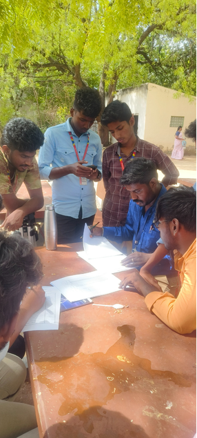
Practical knowledge hub
Practical knowledge, field techniques, and career insights for the next generation of survey professionals.
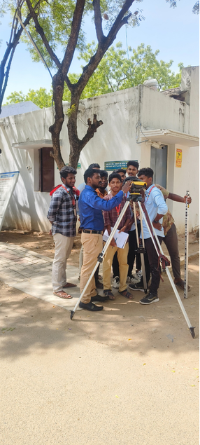
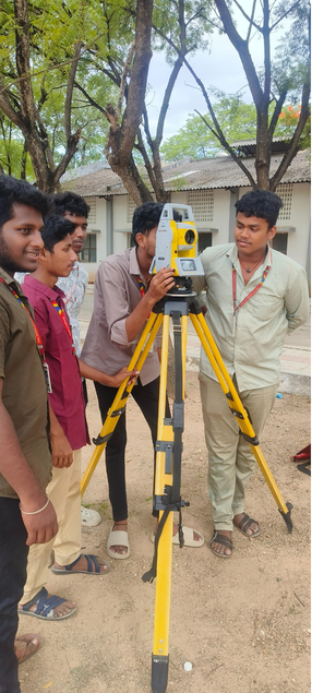
Master electronic distance measuring, coordinate surveying, traverse loops, and field calibration routines.
Understand RTK base-rover workflows, satellite constellations, coordinate systems, and precision correction signals.
Essential field principles, leveling benchmarks, boundary demarcation, and error-prevention fundamentals.
High-growth career tracks for survey engineers, in-demand field skills, and pathways to industry leadership.
Setting-out gridlines, column centerlines, slab elevation checks, and structural verticality monitoring.
Techniques for contouring intervals, spot-height grids, digital terrain elevation models, and CAD plotting.
Leveraging UAV drone photogrammetry, 3D LiDAR point clouds, and GIS mapping tools on modern survey sites.
How to launch a profitable surveying firm, win government and private client tenders, and scale field teams.
Learner voices
Verified student testimonial videos will be added here when real media is supplied.
Arun Kumar
Priya S
Vignesh R
Accuracy is the foundation of professional surveying.
Professional surveying begins with honesty and responsibility.
Knowledge becomes valuable when it can be applied in the field.
Training should prepare professionals for real-world work.
Verified feedback
Find straightforward answers about practical land surveying courses, hands-on field practice on Total Station and DGPS instruments, certifications, and career support at Salem.
At Sur4Tech / TOSET Land Survey Institute, Salem, we offer field-oriented training designed to bridge the gap between textbook theory and real-world infrastructure site demands. Our primary programs include:
Programs range from intensive 15-day internship bootcamps for diploma and engineering students to comprehensive 1-month professional masterclasses for working surveyors and job seekers.
Our core philosophy is "Learn by Doing, Lead by Precision." More than 80% of training time is spent directly on outdoor field sites, handling real survey instruments in diverse terrain.
Rather than watching an instructor from afar, every trainee personally performs the tripod setup, centering, electronic levelling, backsight referencing, resection, stakeout, and boundary measurement. Theory sessions (20%) focus strictly on crucial coordinate mathematics, error checking, and geodetic reference systems.
You will train on modern, high-precision instruments that match what top civil contracting firms and survey consultancies use in India and abroad:
You will learn both reflectorless EDM measurement and optical prism workflows, enabling you to step onto any commercial site with complete confidence.
Yes, end-to-end data processing is a crucial component of our training. Taking field shots is only half the job; turning them into clean engineering deliverables is what makes a professional surveyor indispensable.
We teach you how to transfer raw CSV/TXT coordinate data from Total Station and DGPS data loggers to computers, import coordinates into AutoCAD, generate contour maps, plot longitudinal sections (L-sections) and cross-sections (CS), compute cut-and-fill earthwork volumes, and prepare client-ready boundary drawings.
No prior professional surveying experience is required. We start from absolute instrument basics and progressively advance to complex site challenges. Our programs are tailored for:
Yes. Upon successful completion of your practical evaluations and field assignments, you receive a recognized Course Completion Certificate from Sur4Tech / TOSET Land Survey Institute, Salem.
We also provide proactive Placement Guidance:
Yes, absolutely. Surveyor Bala regularly conducts 2-day to 5-day on-campus Practical Survey Camps, Guest Lectures, and Faculty Development Programs (FDPs) for Engineering Colleges and Polytechnic institutions throughout Tamil Nadu and South India (including Sethu Institute of Technology, Virudhunagar, and institutions across Salem, Coimbatore, Trichy, and Madurai).
We transport our complete instrument fleet—including Total Stations and DGPS units—directly to your campus to give your students a hands-on experience that aligns with real industry expectations. College HODs and Placement Directors can connect directly to schedule sessions.
Our training institute is located at:
501A, Kannadi Nagar, Main Rd, Nedunchalai Nagar, Salem, Tamil Nadu
636005
(Opposite to Sona College area /
Suramangalam — just 10 minutes from Salem Junction Railway Station and major bus
routes).
For candidates traveling from other districts of Tamil Nadu, Kerala, Karnataka, Andhra Pradesh, or other states, we provide hostel and PG accommodation assistance with comfortable, verified lodgings situated within walking distance of the institute.
We couldn't find any questions matching your search. Try different keywords or contact us directly.
Get in touch directly with Surveyor Bala (Balamurugan Manickam). We are happy to clarify course fees, custom batch schedules, corporate training, or college camp inquiries.
Whether you are a student, survey professional, engineering college or industry partner, I’d be happy to connect.
501A, Kannadi Nagar, Main Rd, Nedunchalai Nagar, Salem, Tamil Nadu 636005.
Phone: +91 7708010118
Learn. Practice. Master. Build your future.